
A note from the European Geosciences Union General Assembly 2018
Warning: Trying to access array offset on value of type bool in /home/africarising/public_html/wp-content/plugins/slideshare/slideshare.php on line 162
Warning: Trying to access array offset on value of type bool in /home/africarising/public_html/wp-content/plugins/slideshare/slideshare.php on line 165
Francis Muthoni is a geographic information system (GIS)/remote sensing specialist working at the International Institute of Tropical Agriculture (IITA) with the Africa RISING Project in Tanzania. He attended the European Geosciences Union General Assembly 2018 in Vienna, Austria, in April 2018, and presented his research on the targeting of climate-smart agricultural technologies in East and Southern Africa. Here is his take-home message from the meeting.

 I’m Francis Muthoni from IITA, and I just came back from the European Geosciences Union General Assembly (EGU 2018) held from 8 to 13 April 2018 in Vienna, Austria — thanks to a travel grant from the CGIAR Consortium for Spatial Information. There were more than 15,000 geoscientists from 106 countries in attendance. The intense but very interesting program included about 700 unique scientific sessions together with 68 short-courses and 294 side-events.
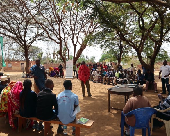
I presented results from a study entitled Long-term trends of rainfall identify priority zones for targeting climate-smart agricultural technologies in East and Southern Africa. This study used remote sensing-based rainfall estimates to detect long-term trends in rainfall in seven countries within eastern and southern Africa. The trends in rainfall were mapped to inform spatial targeting of climate-smart agricultural technologies primarily undertaken by the Africa RISING project and other development agents.
Big data with machine learning in geosciences was one of the interdisciplinary themes in EGU 2018. Sessions on the big data theme largely addressed the current mismatch between increasing explosion of large volumes of data that outstretch the existing storage and processing capabilities. Presentations during this unique session demonstrated current state-of-art in development of machine learning methods to extract information from large volumes of high spatial-temporal resolution and multidimensional datasets from diverse geoscience disciplines.
Among other interesting sessions was a presentation on Pangeo Data community related to the recent integration of pre-existing independent tools to facilitate fast processing of big multidimensional data on high-performance computing (HPC) and cloud computing systems. Pangeo Data is a community-driven effort for open-source big data aimed at cultivating an ecosystem in which the next generation of open-source analysis tools for geosciences can be developed, distributed and sustained. The Pangeo Data’s ecosystem of tools includes deployment of Python, Xarray, Dask and Jupyterhub on Google Cloud Container. These allow a geoscientist to work on large datasets.
The Google stand was among the busiest booths in the conference largely due to demonstrations on the Google Earth Engine (GEE) and Java script programming. The GEE team demonstrated a rich repository of geo-rectified satellite imagery (e.g. Landsat series, Sentinel 1 and 2, climate, etc) combined with ready-to-go geospatial analysis tools. Geospatial analysis tools on GEE enhance data discovery and support geoprocessing on cloud without downloading imagery on to hard drives. Moreover a presentation on Highly Parallelizable Density-Based Spatial Clustering of Applications with Noise (HPDBSCAN) demonstrated an algorithm for time-efficient clustering of high resolution 3D data such as point clouds collected by Lidar. The European Space Agency (ESA) booth presented a variety of resources. These includes the RSS CloudToolBox that offers free customized virtual machines on cloud to the earth observation community. Other sessions on the big data theme covered issues related to: dimensionality and complexity of big data sets, data mining and machine learning, deep learning in geo- and environmental sciences, visualization and visual analytics of big data, complex networks and graph analysis and informatics and data science.
Furthermore, the EGU 2018 program offered numerous sessions on applications of geosciences data and methods in diverse disciplines ranging from biogeosciences, natural hazards, hydrological, atmospheric, climate, soil, ocean, earth and space sciences, to name but a few. EGU 2018 was action packed for all scientists and practitioners in the widest extends of geosciences.
In a nutshell, EGU 2018 was an eye-opener as it offered opportunity to learn recent advances on geospatial data, methods and resources that would be of vital importance to achieving goals for IITA, but also the CGIAR Platform for Big Data in Agriculture. The next EGU General Assembly will be convened from 7 to 12 April 2019 at the same venue.
____________________________________________________________________________________________
This post was originally published in the CGIAR Consortium for Spatial Information website.